New AeroViz version released! See new features!
New visualization features available Explore now
Multiple instrument support added Learn more

AeroViz

Real-time Environmental Monitoring Platform

Latest Research

SEE MORE

Supersite Development Timeline

Station Construction and Technology Evolution

2017

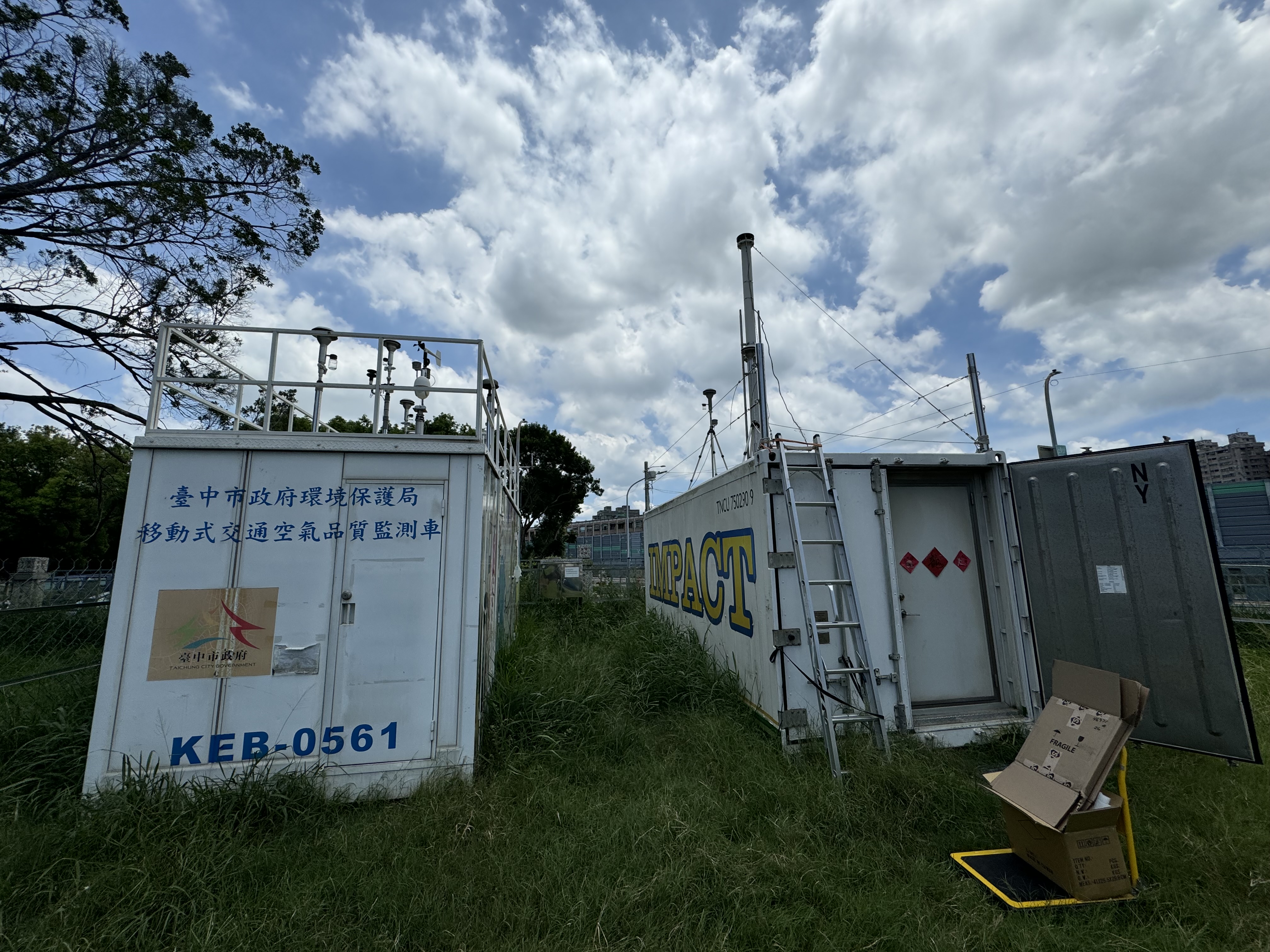
TH Station - Central Taiwan

Established TH monitoring station in central Taiwan to investigate the causes of visibility degradation in the region. Initiated comprehensive aerosol characterization and atmospheric measurements.

Visibility Study Central Taiwan Aerosol Monitoring
TH Station Central Taiwan 2017
2018

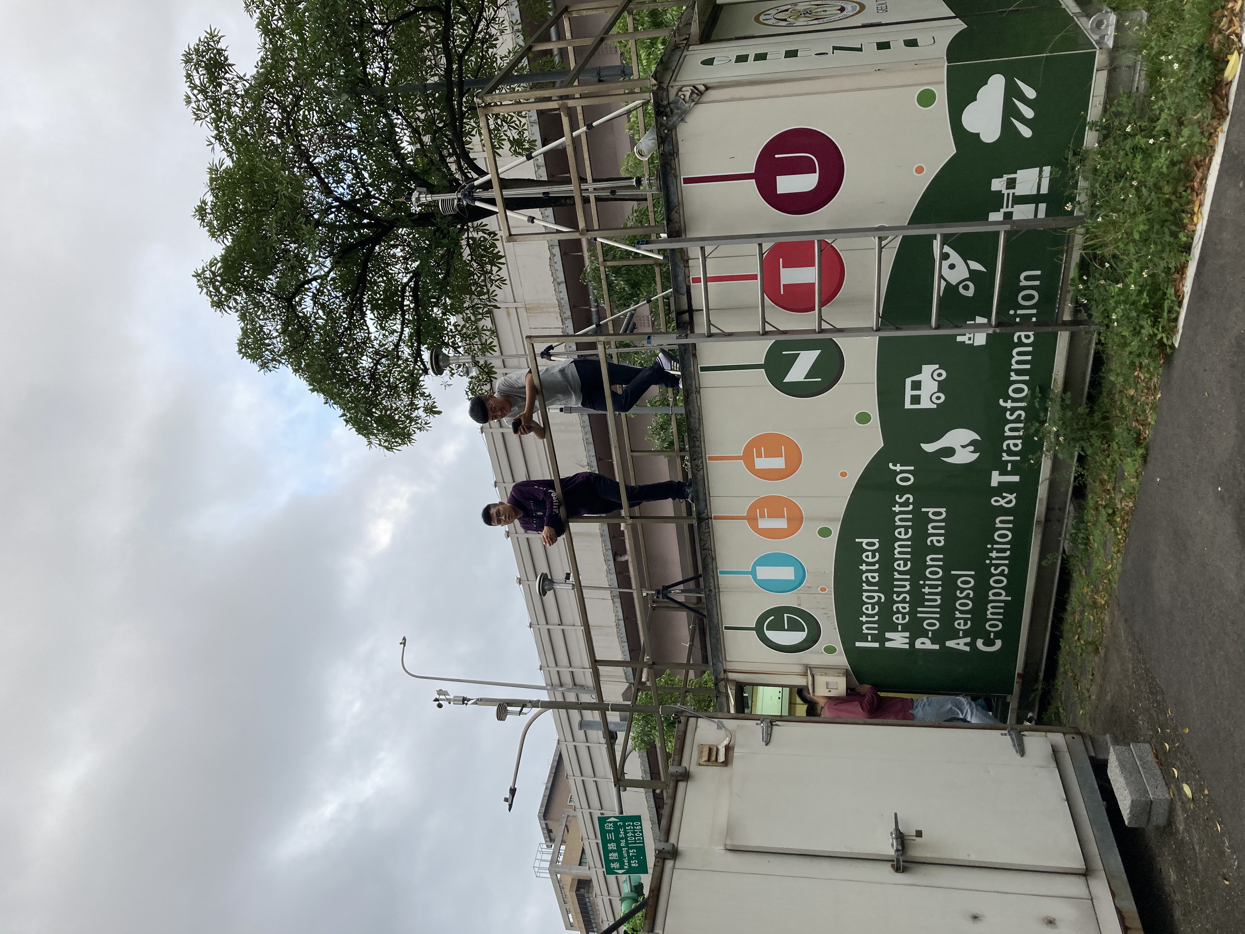
TP Station - Taipei Urban

Established TP station in metropolitan Taipei to analyze the impact of urban traffic emissions on human health. Focused on characterizing ultrafine particles and black carbon from vehicular sources.

Traffic Emissions Health Impact Urban Air Quality
TP Station Taipei Urban 2018
2024

NZ & FS Stations - Southern Taiwan

Established NZ and FS monitoring stations in southern Taiwan to address regional air pollution and visibility issues. Enhanced network coverage for comprehensive island-wide atmospheric monitoring.

Southern Taiwan Air Quality Network Expansion
NZ & FS Stations Southern Taiwan 2024
2025

AeroViz Platform Launch

Launched comprehensive web platform and database system for real-time data visualization and analysis. Providing integrated access to multi-station monitoring data and advanced analytical tools.

Platform Online Database Launch Data Integration

Open Source Projects

Explore our Python packages for atmospheric science and satellite data analysis

AeroViz

Python
-- -- --

A comprehensive Python package for atmospheric aerosol data visualization and analysis. Provides tools for processing, analyzing, and visualizing real-time environmental monitoring data.

Installation
pip install aeroviz
Data Visualization Time Series Analysis Real-time Monitoring

Satellite S5P

Python
-- -- --

Python toolkit for processing and analyzing Sentinel-5P satellite data. Streamlines the workflow for retrieving, processing, and visualizing atmospheric composition data from TROPOMI.

Installation
pip install satellite-s5p
Sentinel-5P TROPOMI Satellite Data